Plenty River Trail

The Plenty River Trail starts north of the Western Ring Road in Greensborough and ends far to the south, meeting the Yarra River Trail in Viewbank. Following the winding Plenty River, the trail passes playgrounds, sport fields, bushland and open areas suitable for picnicking, bike riding and dog walking.
This shared trail is concrete throughout Banyule and is accessible from many of entry points, including wheelchair users and bicycles. The Parks Victoria section of the trail is unsealed between the bridge south of Lower Plenty Road and the Yarra River Trail.
The Friends of Plenty River are active volunteers, helping to manage bushland along the Plenty River in Yallambie. They meet on the second Sunday of each month.
History
The Plenty River starts on the forested slopes of Mount Disappointment, Humevale. The 47km river flows south and is joined by three minor tributaries before reaching the Yarra River in Viewbank. Before European settlement, it was a major pathway for the Wurundjeri-willam people, providing water, food and shelter.
The trail passes several sites of post-European historical significance, including the remains of an early public swimming pool built into the river in Greensborough and a number of 100-150 year old fruit trees that mark the location of many orchards established in the late 1800s. In Lower Plenty, the trail crosses a historical bluestone bridge dating from the 1860s, one of the first bridges across the Plenty River to be built of its kind.
Flora and fauna
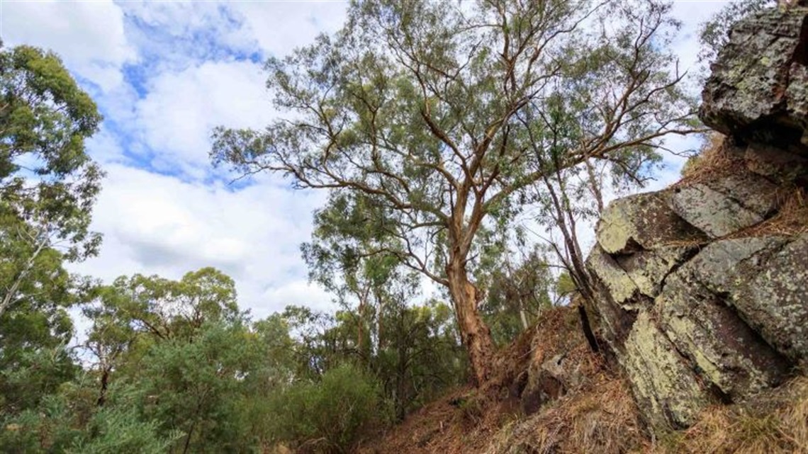
The Plenty River is home to many threatened, endangered and vulnerable vegetation communities, including floodplain riparian woodland, valley grassy forest and riparian scrub, grassy dry forest/box-stringybark woodland and herb-rich foothill forest. It is managed by the Banyule Bushland Management Unit.
The native vegetation along the river is part of a corridor that provides shelter and food to wildlife travelling between the Yarra River and Plenty Gorge Parkland. Swamp wallabies, echidnas and wombats are all found in the area, along with many native birds.
Fauna
| Common name |
Scientific name |
|
Brushtail possum
|
Trichosurus vulpecula |
|
Eastern brown snake
|
Pseudonaja textilis |
|
Gang gang cockatoo
|
Callocephalon fimbriatum
|
|
King parrot
|
Alisterus scapularis |
|
Laughing kookaburra
|
Dacelo novaeguineae
|
|
Musk lorikeet
|
Glossopsitta concinna
|
|
Rainbow lorikeet
|
Trichoglossus moluccanus
|
|
Short-beaked echidna
|
Tachyglossus aculeatus
|
|
Sugar glider
|
Petaurus breviceps
|
|
Sulfur-crested cockatoo
|
Cacatua galerita
|
|
Tawny frogmouth
|
Podargus strigoides
|
|
Tiger snake
|
Notechis scutatus
|
|
Yellow-tailed black cockatoo
|
Calyptorhynchus funereus
|
Flora
| Scientific name |
Common name |
|
Acacia implexa
|
Lightwood
|
|
Bursaria spinosa
|
Sweet bursaria
|
|
Clematis decipiens
|
Slender clematis
|
|
Einadia nutans
|
Nodding saltbush
|
|
Eucalyptus melliodora
|
Yellow box
|
|
Eucalyptus viminalis
|
Manna gum
|
|
Goodenia ovata
|
Hop goodenia
|
|
Gynatrix pulchella
|
Hemp bush
|
|
Lomandra longifolia
|
Spiny-headed mat rush
|
|
Melicytus dentatus
|
Tree violet
|
|
Pteridium esculentum
|
Austral bracken
|
|
Rytidosperma sp.
|
Wallaby grass
|
Location
17 Edward Willis Court, Lower Plenty 3093 View Map
-37.73241, 145.104215
17 Edward Willis Court ,
Lower Plenty 3093
17 Edward Willis Court ,
Lower Plenty 3093
Plenty River Trail